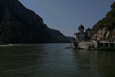
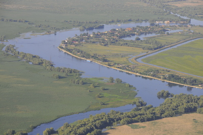
The Danube is the second longest river in Europe. It passes through 10 countries with a length of 2.888 km, gathering 50.000.000 people, different nations, cultures and languages on its way. From the calm source in Germany, across the adventurous and wild Middle and Lower part, the Danube represents one of the most promising tourism destinations in Europe. Impressive results showcase that each season around 680.000 cycling tourists pass between Passau and Vienna.
However, a large number of tourists still travel by car, causing negative impacts. The closer we go to the Black Sea, the capacity for sustainable mobility becomes weaker, due to the lower infrastructure capacity and non-existing services which will support the travellers in a sustainable manner.
In the course of two and a half years, the project Transdanube.Pearls managed to establish a coherent framework for further development of sustainable mobility along the Danube, developing socially fair, economically viable and environmentally friendly and health promoting mobility services for the visitors of the Danube region. One of the major outputs of the project was a creation of the Danube.Pearls network, which will increase the visibility of the participating destinations offering their visitors the unique possibility to travel the Danube with sustainable means of transport.
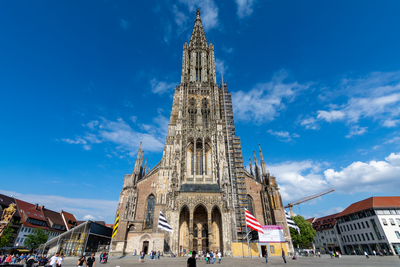
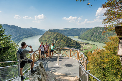
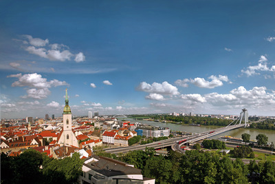
At this point in time, there are 11 outstanding Danube.Pearls from 8 Danube countries, which offer you the opportunity to experience the Danube region in a gentle and adventurous way. These Pearls allow you to travel in an environmentally friendly way: to the respective Pearls, from one Pearl to another and within each Pearl.
Full information about the Pearls you can find on the website www.danube-pearls.eu . Here, we have listed the clickable profiles for each Pearl from the above mentioned website:
One of the major outcomes of the project was a creation of new EuroVelo 6 application, under the title – EuroVelo 6: The Danube Route. Compared to the previous version, this application now gathers the data for both sides of the route, enabling users to specifically select POI’s to which they want to travel. The application also has an option for RIDE MODE, which automatically puts the user into GPS 3D view, making the ride easier and more intuitive. This is particularly useful in cases where there are no signposts along the way. The application is available both for the Android and IOS systems.
